



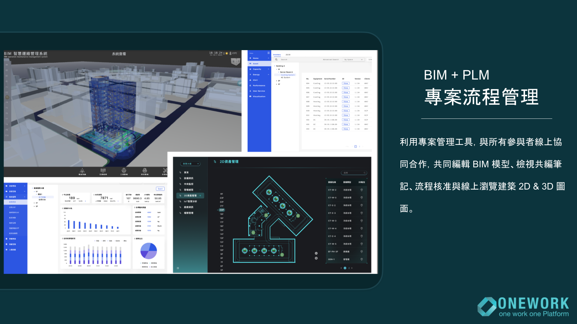
BIM + PLM 施工專案流程管理(建築全生命週期)
Supports full lifecycle construction management and integrates with 3D building simulation software. From early design and vendor contract management to construction and facility operations, the platform serves as a collaborative management tool for all project participants.
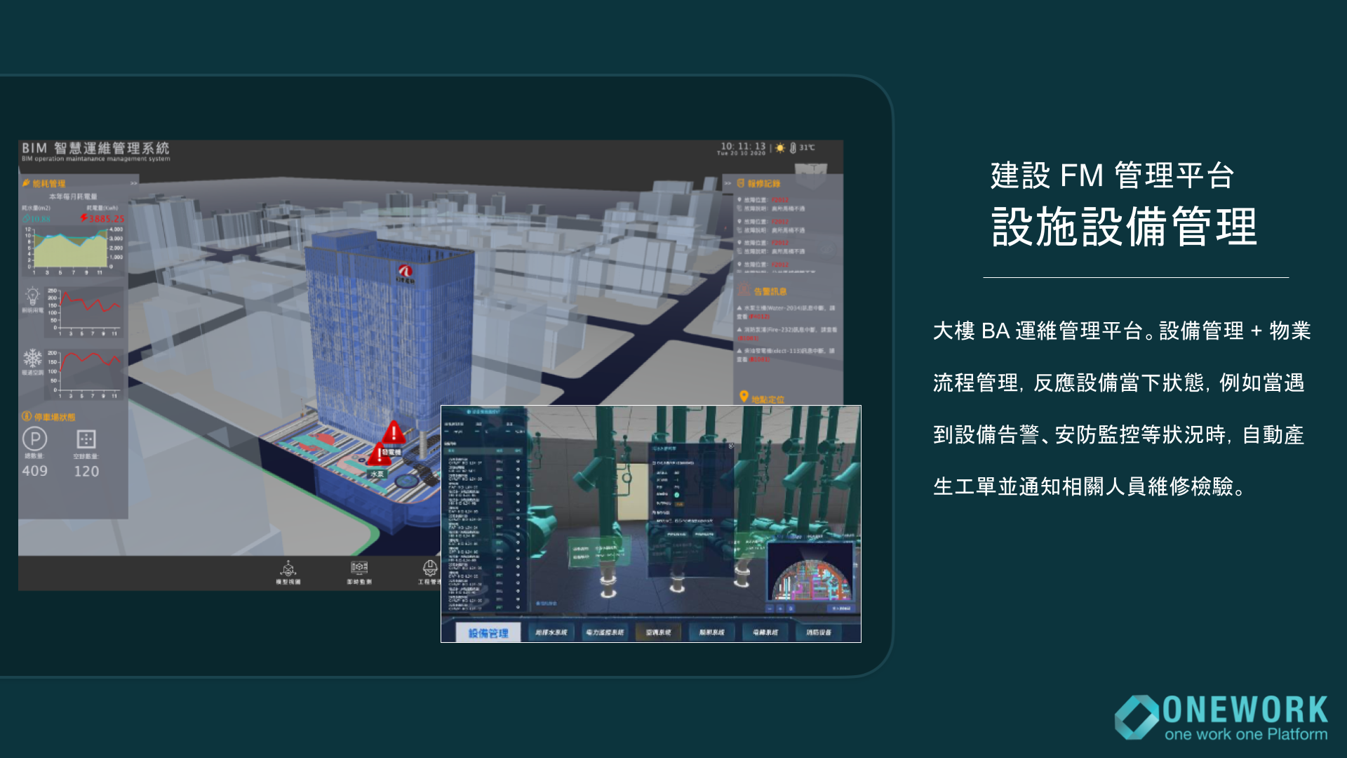
FM 設施管理平台
A highly customized 3D dashboard that integrates with SCADA and central monitoring systems, compatible with leading control platforms such as Siemens, Schneider, and Honeywell. Our platform supports all major BIM formats, including IFC, RVT, DWG, DGN, NWD, SKP, and more.
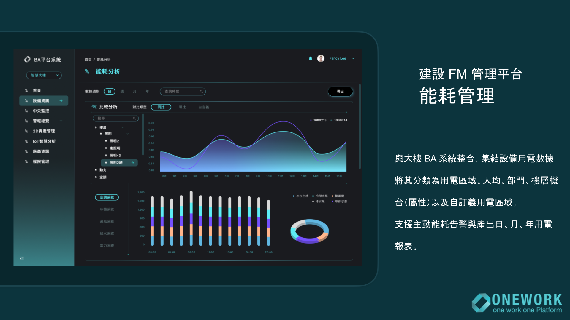
Power Monitoring System
Not just building power analysis, but ESS fields battery station too can utilize our monitoring platform for daily operation status and facility maintenance schedules. With power cost and revenue, stakeholders can easily compare RIO between ESS sites.
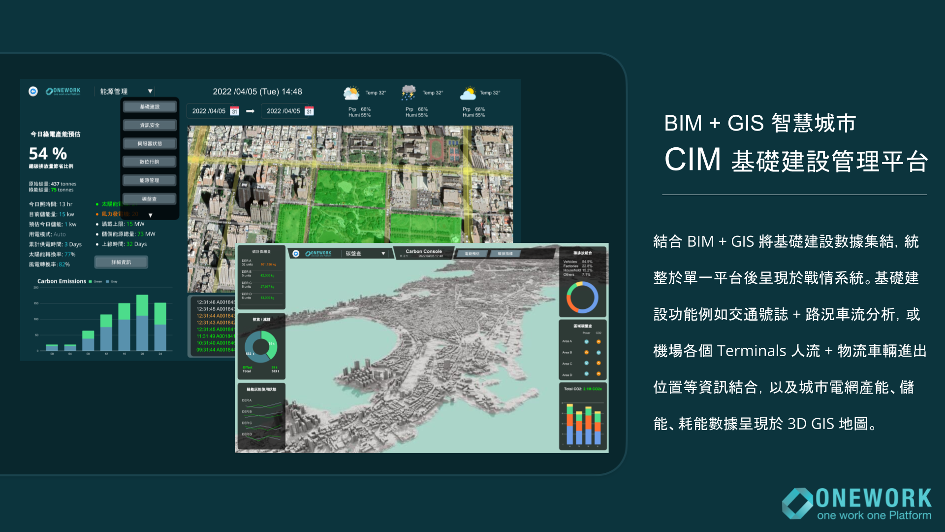
The combination of all our Core Tech
The marvel of Onework's core tech. We utilize GIS and 3D BIM engine to monitor city-wide ranges of buildings, equipments, airport terminals and infrastructures such as pipes, bridges, tunnel gas and a great number of IoT sensor readers. Then, displaying it onto a stunning 3D web application for maximum accessibility.
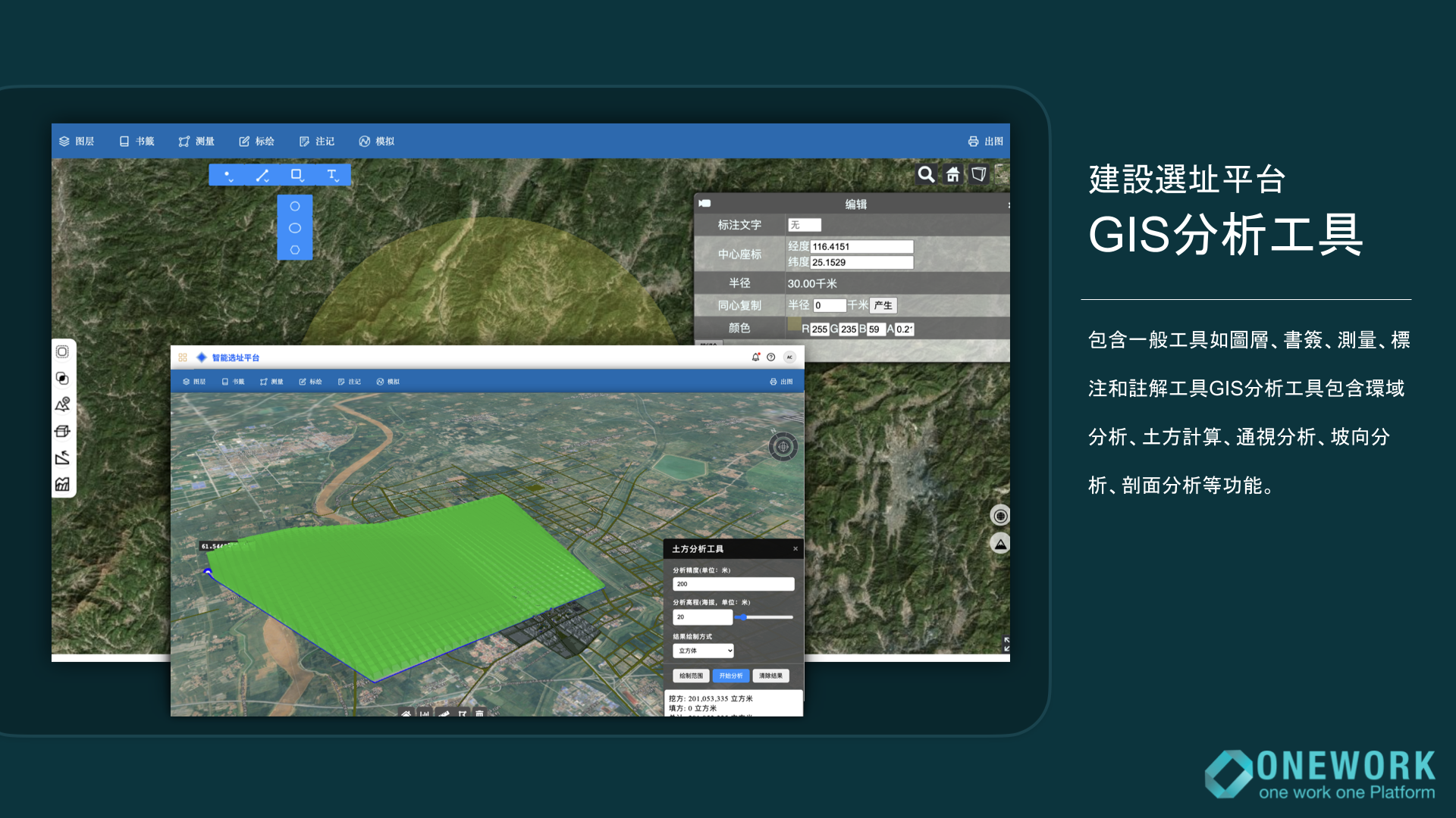
GIS Site Analysis Tool
Using scanned 3D terrain at a 1:1 scale, the platform supports runway site selection for airports. It can simulate takeoff and landing paths, proximity to residential areas, slope angles, earthwork volumes, and other engineering data.